

NOAA, the American ocean and atmosphere agency, released on Thursday (October 15th) its forecast for the winter of December 2026 to February 2027, and El Niño dominates the map: warmer than average temperatures in much of the Northern and Eastern United States and more rain in the southern part of the country and along the East Coast. For Brazilians living in the US, the map helps plan their heating bill, end-of-year trips, and flood precautions, provided it is interpreted as a probability forecast for the average of the season.
According to NOAA, above-average heat is favored in Northern California, the Pacific Northwest, the Midwest, the Mississippi Valley, much of the East, Alaska, and Puerto Rico and the Virgin Islands. Parts of the Southeast, including Florida, are more likely to experience near-normal temperatures. In Hawaii and much of the Southwest, the chances are evenly split between below, near, and above average.
Regarding rainfall, the agency sees a higher probability of a wetter winter across the entire southern range, from the Southwest to the Southeast, and along the East Coast. Drier-than-average weather is highly likely in Hawaii, much of Alaska, the northern mountainous region of the West, parts of the Great Lakes, and the western Pacific islands. According to the Associated Press count, some or all of 41 of the 48 contiguous states are expected to have warmer-than-normal winters, and none with colder winters. Regarding rainfall, 39 states are expected to be either fully or partially wetter.
An El Niño that could go down in history.
The driving force behind this scenario is the warming of the equatorial Pacific. In the discussion of October 8th, the NOAA Climate Prediction Center (CPC) maintained its El Niño alert and recorded that the Niño-3.4 index reached +2.1 °C last month. The CPC gives more than an 83% chance of a strong to very strong El Niño persisting until the January-March 2027 quarter.
The same bulletin calculates the chance of a historic event, greater than any El Niño since 1950: 54% for September to November, 83% for October to December, and 70% for November to January. The criterion is the relative RONI index reaching +2.5 °C or more on average over three months.
"As we know from decades of observations, a very strong El Niño will likely bring a southward and eastward shift of the jet stream across the contiguous U.S.," said Ken Graham, director of the National Weather Service (NWS), in a NOAA statement. According to Graham, this tilts the odds toward stormier weather in the South.
The unusual strength also brings doubt. Judah Cohen, a research scientist at MIT and winter expert interviewed by the AP, said that an unprecedented El Niño is reason to be less confident, not more: "We have no real historical analogue or precedent."
The map indicates where many Brazilians live.
Florida. NOAA indicates temperatures are most likely to be near normal. Regarding rainfall, according to ABC News, Florida has the highest probability of above-normal precipitation. According to Jon Gottschalck, meteorologist and division chief of the NWS, quoted by the AP, Florida and parts of the Southeast should be on the lookout for more tornadoes in the winter and early spring due to El Niño.
Northeastern Massachusetts, from Massachusetts to New Jersey. Much of the East is in the area of above-average heat, and the East Coast in the area of heaviest rainfall. The AP reports that NWS meteorologists expect below-normal snowfall across much of the North, including the Northeast, and that the private company AccuWeather forecasts about half or less of the normal snowfall for Boston, New York, and Philadelphia. Paul Pastelok of AccuWeather recommended cautioning about snowstorms in the East in late January and February. Gottschalck told the AP that an escape from the polar vortex is less likely than in most winters, but remains possible.
California. The northern part of the state is in the area of above-average heat, while the south, according to the AP, has equal chances. ABC News reports that parts of California and Arizona may have a very rainy winter. Mike Bettes of the Weather Channel warned the AP of "numerous high-impact atmospheric rivers," with a risk of flooding and landslides.
Colorado. NOAA's signs of drier weather and drought emerging or worsening are in the northern mountainous region of the West and parts of the northern Rocky Mountains. According to the AP, Gottschalck lists the central and southern Rockies among the areas where the drought should ease, and the service's meteorologists include the southern Rockies among the regions that may see more snow than normal. AccuWeather, more optimistic than NOAA about snow in the Rockies, forecasts 10 to 18 days with at least 2 inches (about 5 cm) of snow for Denver. For the entire season, the company's snow forecast for Denver is near average, but well above last winter's.
Washington. The Pacific Northwest is in the area of above-average heat. NOAA predicts drought emerging or worsening in eastern Washington and northeastern Oregon, while the AP points to drought relief in western Oregon and Washington. For The Weather Company, the North of the country, from the Northwest to the Midwest, tends to have a milder and drier winter, with lower heating bills and possibly less snow.
Warming, end-of-year trip and storms
Heating bills are where above-average heat can have the least impact on your wallet. Analysis by The Weather Company links the predicted milder winter in the North to lower heating bills. The NOAA statement doesn't address energy consumption or pricing, and the forecast refers to the three-month average, without detailing specific days or weeks, as ABC News pointed out.
For those traveling during Christmas and New Year's, the seasonal forecast doesn't specify what the weather will be like on a particular date. The general indication is more rain in the southern region and along the East Coast. For the day of travel, the short-term forecast remains the reference point.
Regarding snow, NOAA is explicit: the bulletin does not project accumulated snowfall for the season because snow is generally not predictable more than a week in advance. In a press conference quoted by the AP, Graham stressed that a forecast of below-normal snowfall does not rule out blizzards: "It doesn't eliminate the risk."
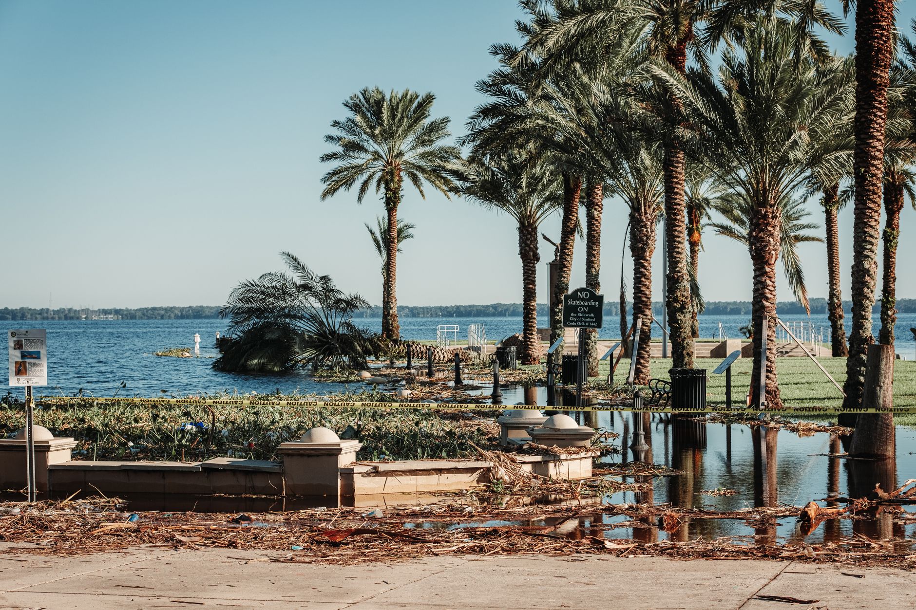
Too much rain is also a risk. NOAA predicts that the drought will improve or end by the end of January in the Southwest, the southern Great Plains, the Southeast, and parts of the East Coast, and warns that too much rain on dry ground can cause flash floods and landslides.
Probability, not a guarantee.
"That's why our seasonal forecasts are expressed in terms of probabilities," Michelle L'Heureux, a scientist at the CPC, told ABC News. The CPC itself writes that, in an El Niño of this magnitude, the chances of typical effects of the phenomenon are higher, "although not guaranteed."
Upcoming updates
The CPC publishes its next discussion on El Niño on November 12. NOAA updates its three-month forecast every month, and the next version comes out on November 19.

Comentários
Faça login para comentar
EntrarSeja o primeiro a comentar!